Collector – the GIS field app in action!
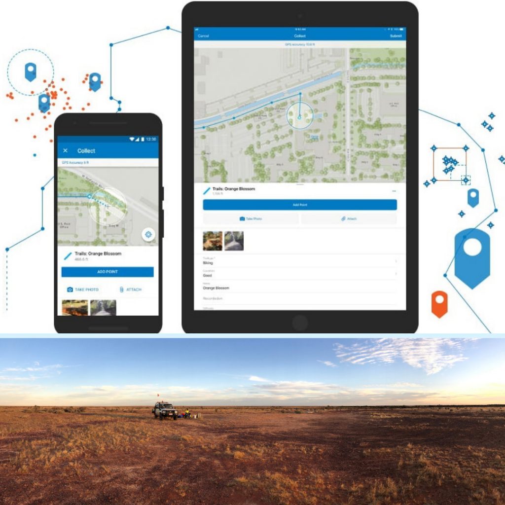
We put the Collector app to the test last month with some great results. A project up in the Cooper Basin required an environmental field survey, and using ArcGIS we were able to upload the survey areas into an online map in Collector. We knew there would be no mobile reception at the survey site. So we had to take the Collector map ‘offline’, which basically meant downloading the map features onto the mobile device while still being able to make changes, then uploading those changes when reconnected with the internet. An initial challenge for our survey was the field team having to respond to daily updates by the client, when already out there. But since we were using Collector, the GIS Officer back in Adelaide was able to update the offline map in the morning after they were sent the new data. The team out in the field were able get in reach of Wi-Fi at lunch, download the new areas into their offline map and head back out into the field! So, while the team was out in a remote place, we were still able to keep connected and make sure we were working with the latest data.
If you have projects in remote areas and want accurate and up to date location data, get in contact with us today!